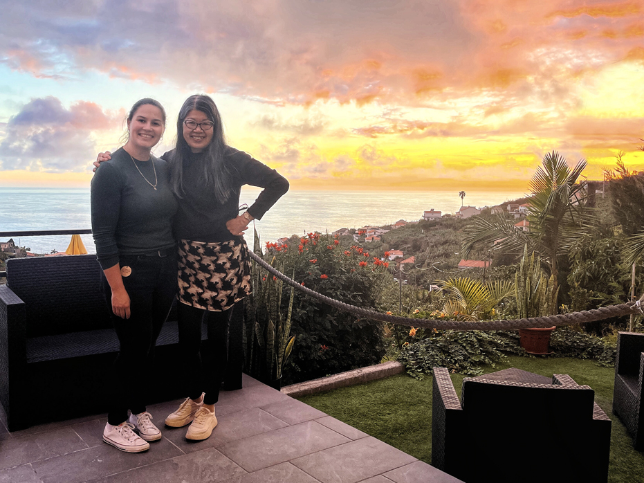
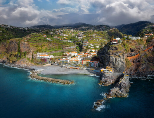
A little bit about the home we stayed in, because it deserves it’s own page. We stayed at an Alojamento Local that we found on AirBNB called Cantinho do Sol, which was represented by a local company called Stay Madeira Island. When we started researching where to stay, we didn’t know much about the island so we bookmarked a few homes all over Madeira but our research narrowed down our thinking to where we wanted to stay, which was Ponto…
Getting ready for our three week journey to Madeira, Portugal was a big deal this year. We planned it for almost four months before we left, finding a nice home we both…
This was the last hike we did during our three week stay in Madeira. For those of you that have been reading my posts on our trip to Madeira, you’ll know…
Miradouro do Guindaste is located on the northeastern coast of Madeira Island, within the municipality of Santana. I had seen a lot of photos of this spot and most of them…
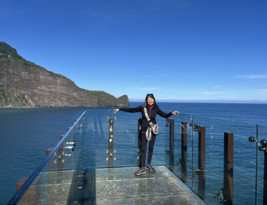
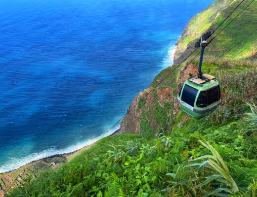
One of the day trips we had planned was a visit to the Achada de Cruz Cable Car, located on the northwestern coast, which transports visitors 1,500 feet down the cliffs…
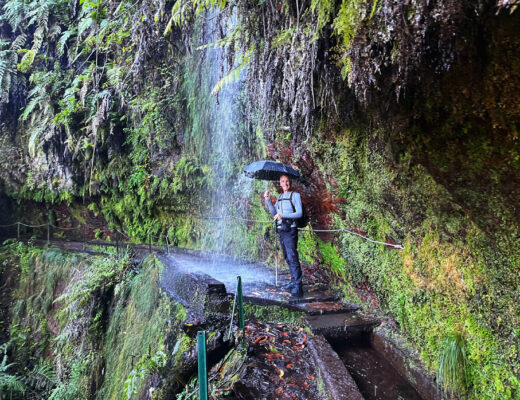
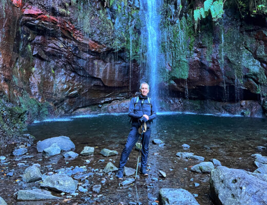
Situated in the heart of the dense jungle that surrounds Rabacal, the Levada das 25 Fontes is considered Madeira’s Best Levada walk. We left Ponto do Sol and arrived at the…
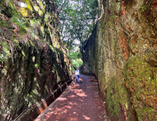
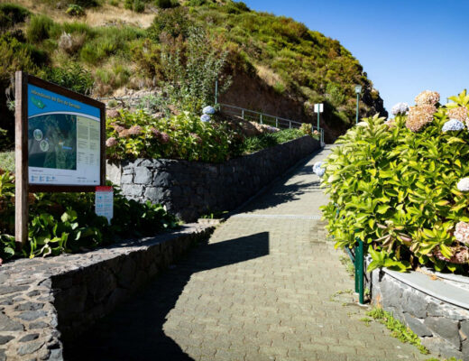
Vereda dos Balcões, located in the Ribero Frio Forest Park, is the perfect trail if you are looking for an easy 3 klm hike. To get there, we took the longest…
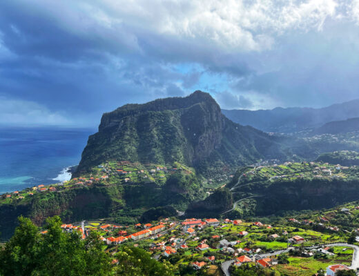
Geologically, Penha d’Águia stood out as one of the most impressive features on Madeira to me. We first noticed it while scoping out Levada do Larano as a potential hike we…
If you are touring Madeira with a car, you will certainly notice signs for Miradouro’s. Miradouro’s are viewpoints with spaces to sit and rest. They are scattered all over the island…
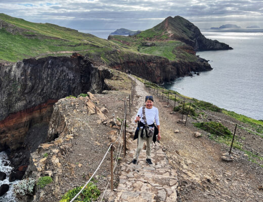
Often referred to as ‘The Dragons Tail’ trail, vereda da Ponta de Sao Lourenço leads you along a narrow stretch of rugged coastline along the far eastern tip of Madeira with…
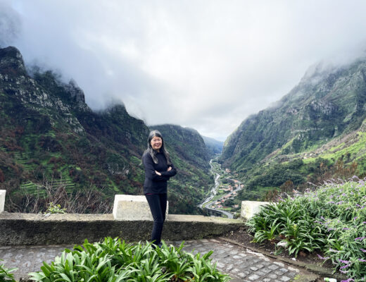
I wanted to see Nuns Valley from above so one afternoon, we wound our way up and around the mountains Miradouro Eira do Serrado. At an altitude of 1095 metres, the…
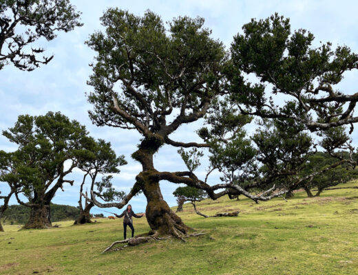
The Fanal Forest – once I saw photos, it held a sort of mythical draw to me. Located high in the mountains along the Paul da Serra Plateau, it is a…
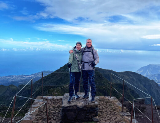
Pico Ruivo is the highest peak in Madeira, standing at 1,862 meters (6,106 feet) above sea level. This was one of the hikes that I had to do while we were…
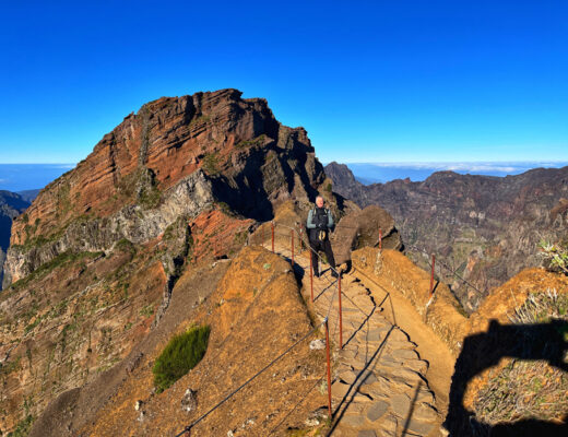
Pico de Arieiro was the most impressive and awe inspiring hike for me during our visit to Madeira. Besides the breathtaking landscapes vying for your attention in every direction, the trail…
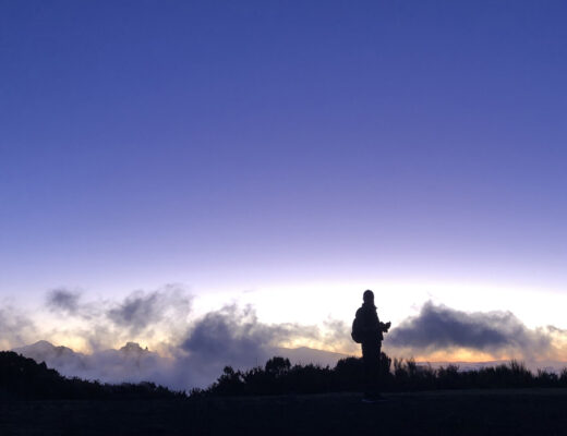
There are a few spots on Madeira I knew we would have to get up long before sunrise to really experience the beauty of. Bica da Cana was the most important…

