Pretty River Valley Provincial Park is located along the highest point of the Niagara Escarpment.
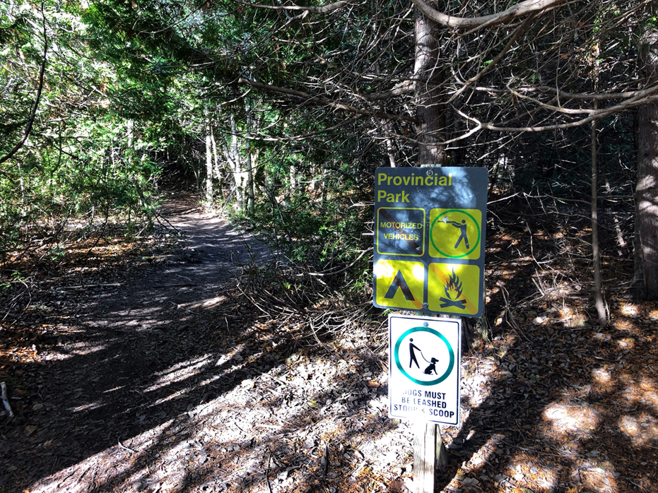
It is open for day-use and is a non-operating park, so besides offering a few trails for hiking and mountain biking, there are no other facilities, services or activities.
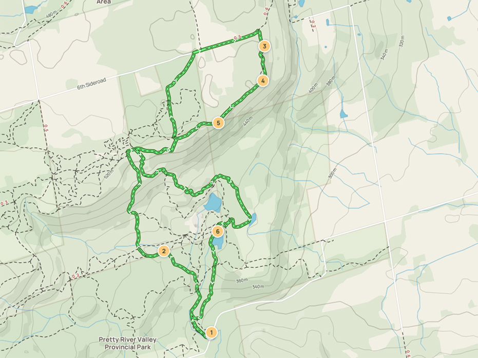
This 9.2-km loop trail near Nottawa, Ontario is very close to us and over the past three years, we’ve visited a few times during the year.
The hike itself is considered a moderately challenging route and takes an average of 3 hours to complete, depending on how quickly you hike and how often you stop to enjoy your surroundings.
There are a few parking options at Pretty River Valley, but most tend to park along the shoulder of Pretty River Road.
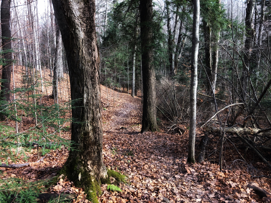
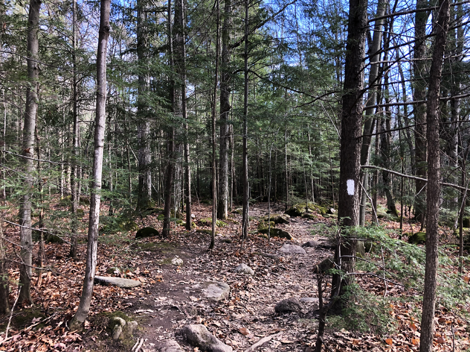
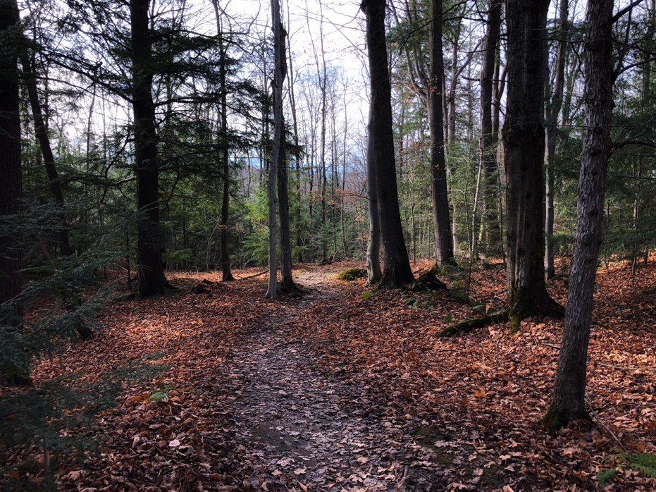
We set out to explore the Pretty River Provincial Park for the first time in November, 2020 by hiking this fairly large looping trail which follows sections of the Bruce Trail but also makes it’s own route across the top of the escarpment and without our All Trails App, we may not have found our way. There was a few sections where we had trouble finding the blue blazes.
So, for orientation, the first time we hiked the trail, we took the path on the right from Point 1 above. Both other times, we headed left at the beginning. Both choices are equally wonderful. The differences are you either end up walking by the river at the end of your hike or through the cedar forest. After hiking this trail on three occasions, I would start by heading right and ending the hike walking alongside the Pretty River at the end..
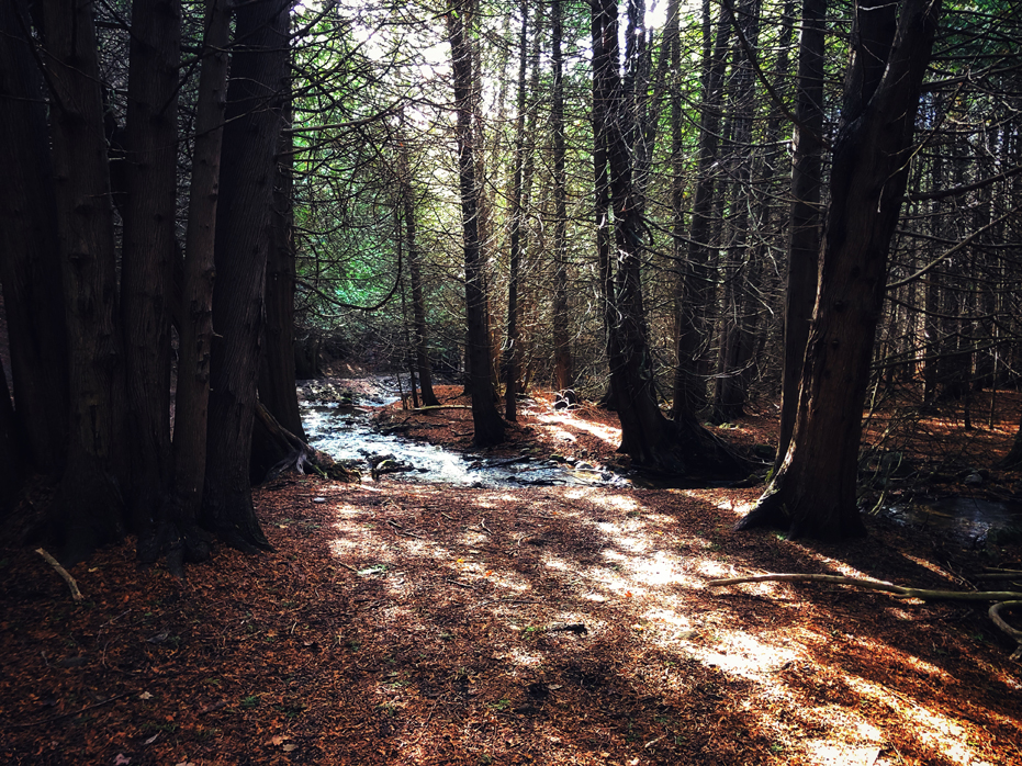
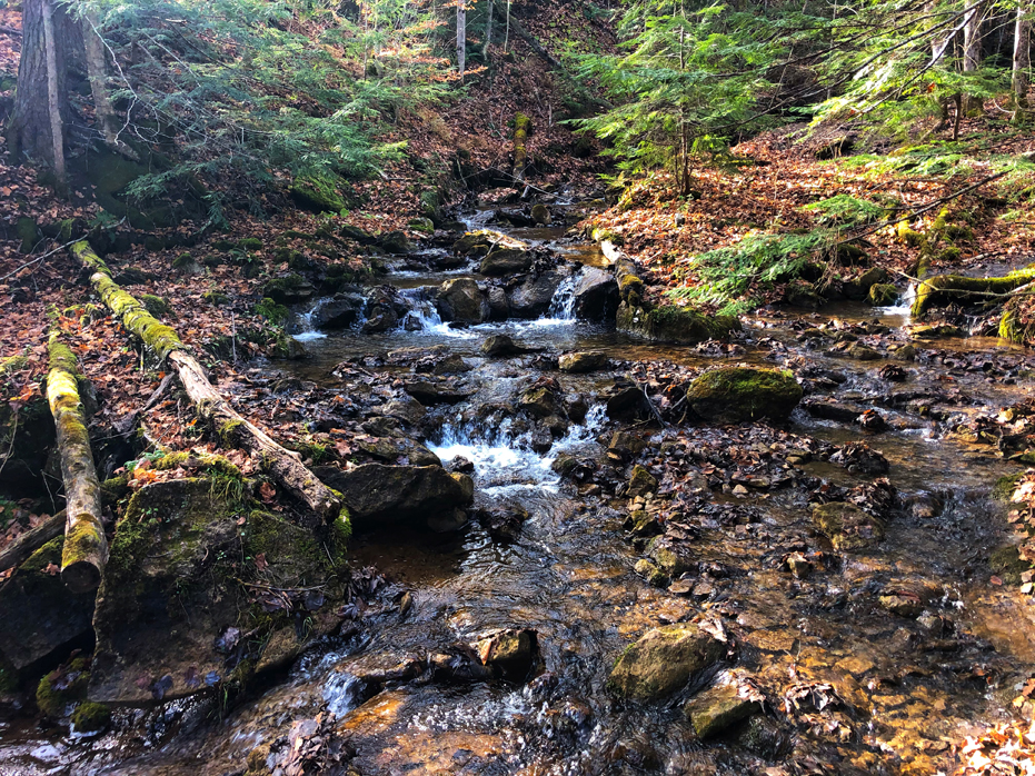
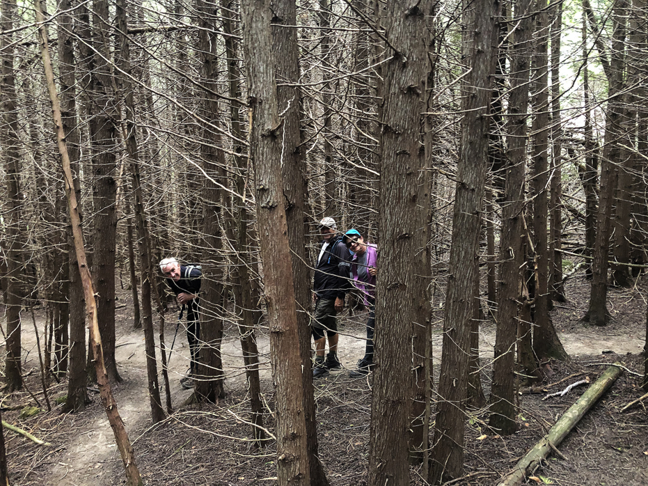
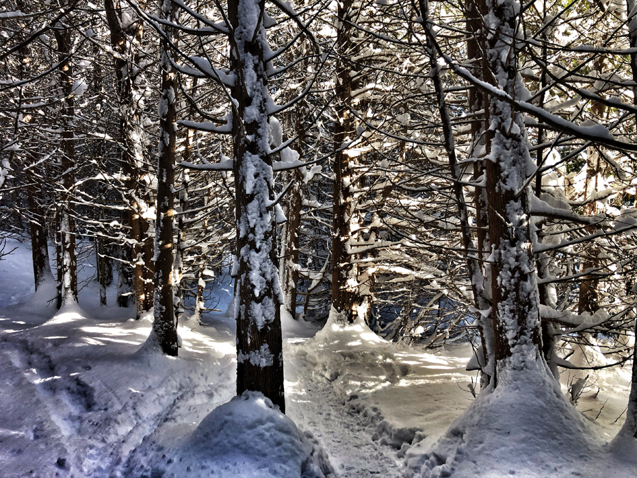
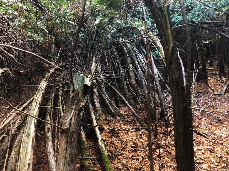
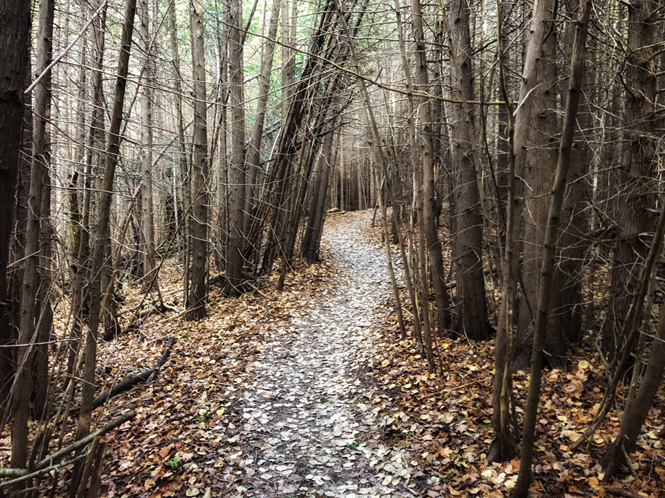
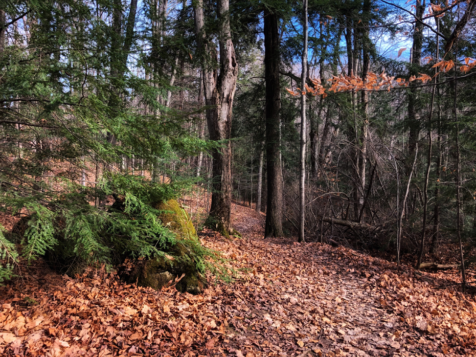
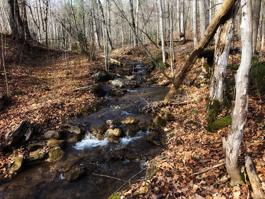
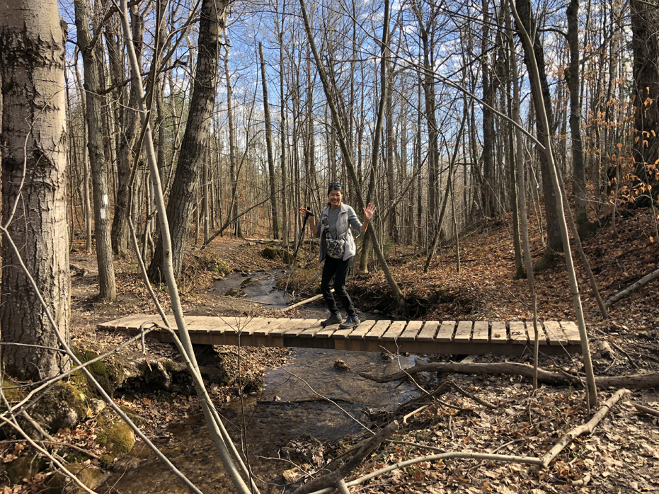
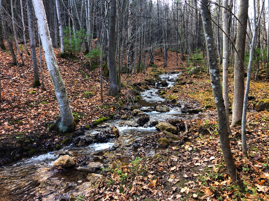
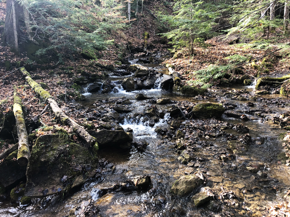
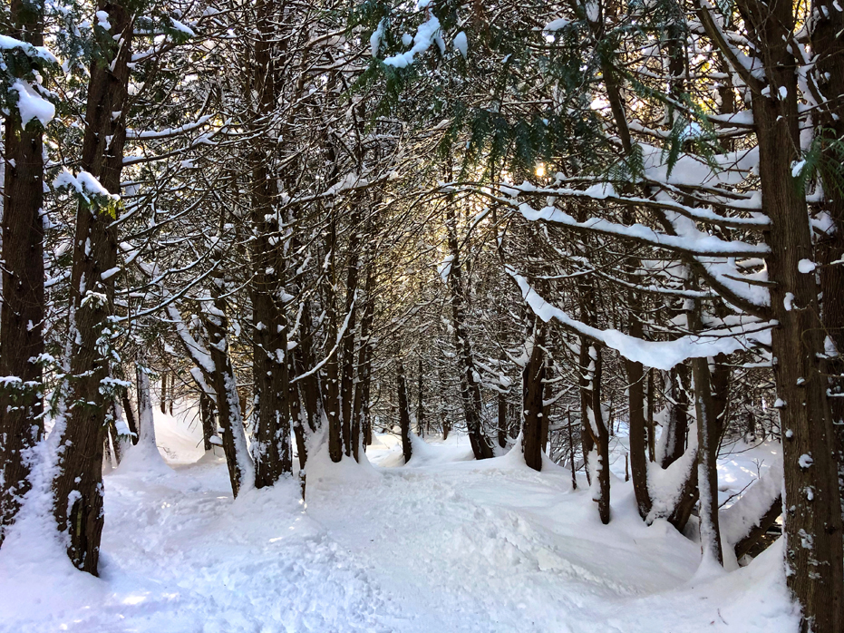
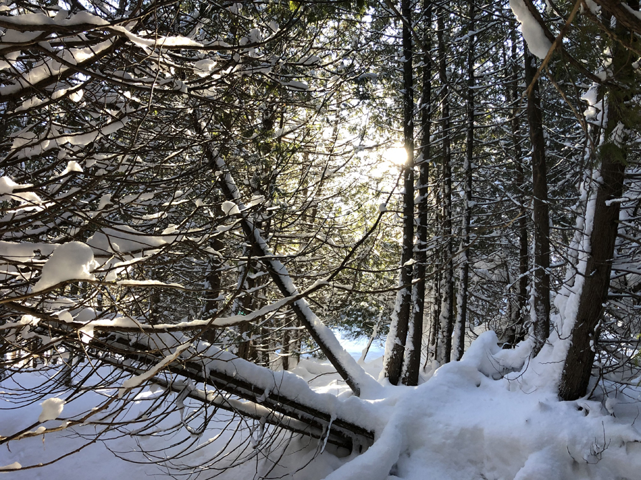
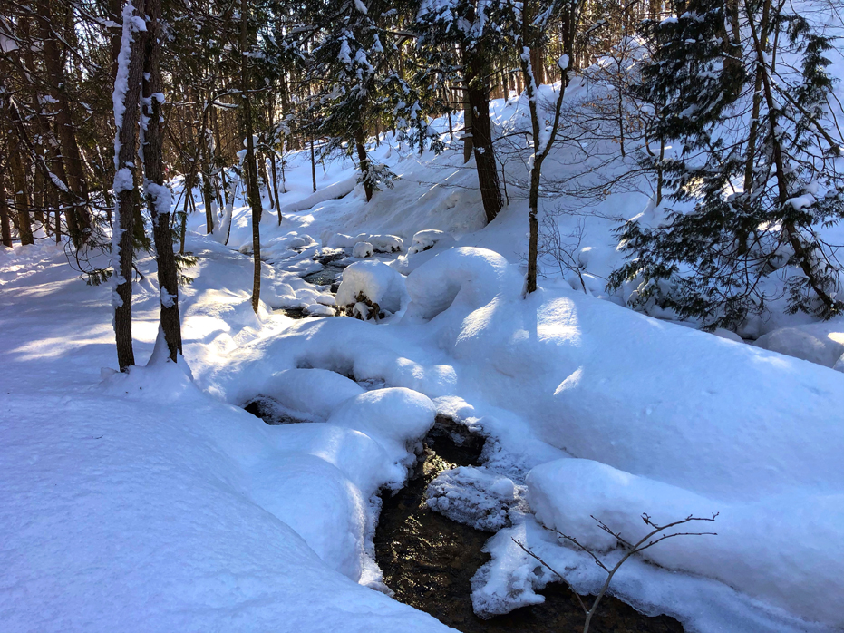
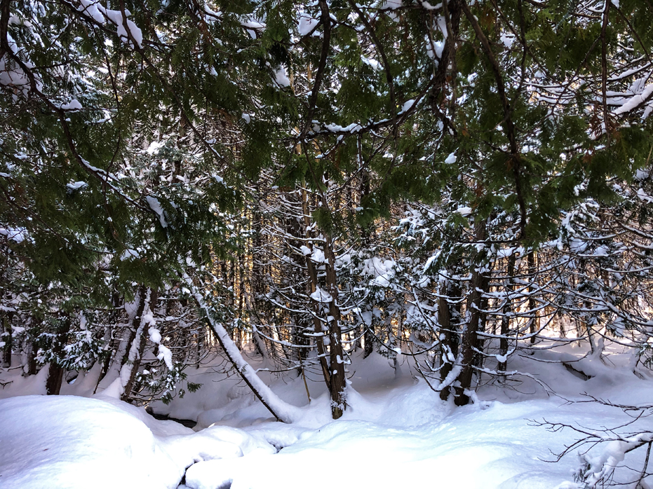
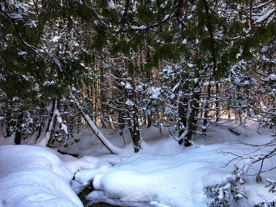
The first stretch of the path winds through a dense cedar grove and is a steady but slow ascent up the side of the Escarpment. The side trail is marked with blue blazes along the trees and weaves up through the forest until the trail passes Sundown Lake and then crosses a stream, which involves hopping over rocks and stones to reach the other side.
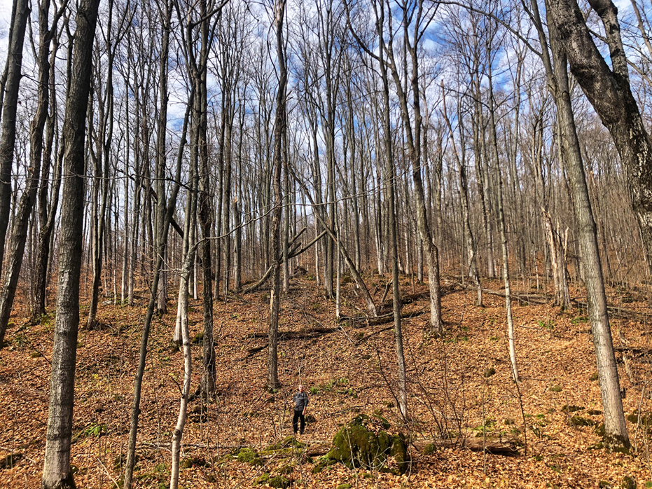
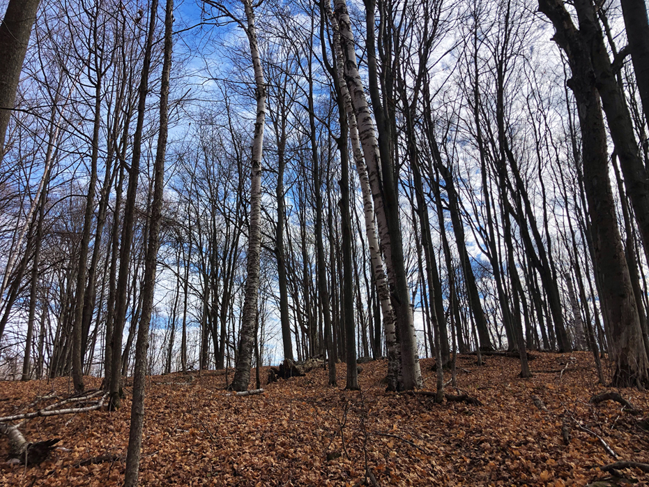
All three times we have hiked this trail, we have found it unbelievably quiet for most of the hike. The first time we hiked the trail, once we were up on top of the escarpment, there were mountain bikers but none of them bothered us and there was lots of room to share the trail. Up there, the trail was much wider and seemed like it was made more for the mountain bikers than hikers and I wondered where they started from to get there. I still haven’t figured that out so I guess it isn’t that important to me.
Of course, coming back down was easier and involved many switchbacks along the way.
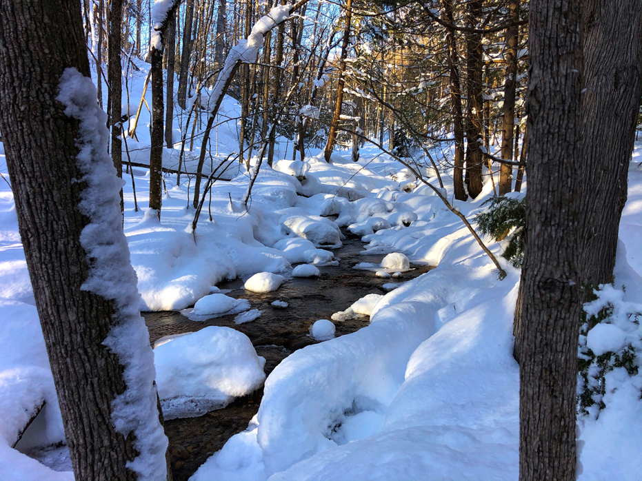
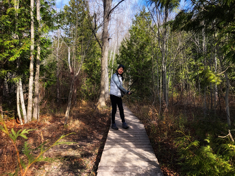
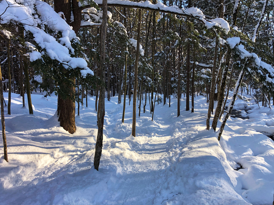
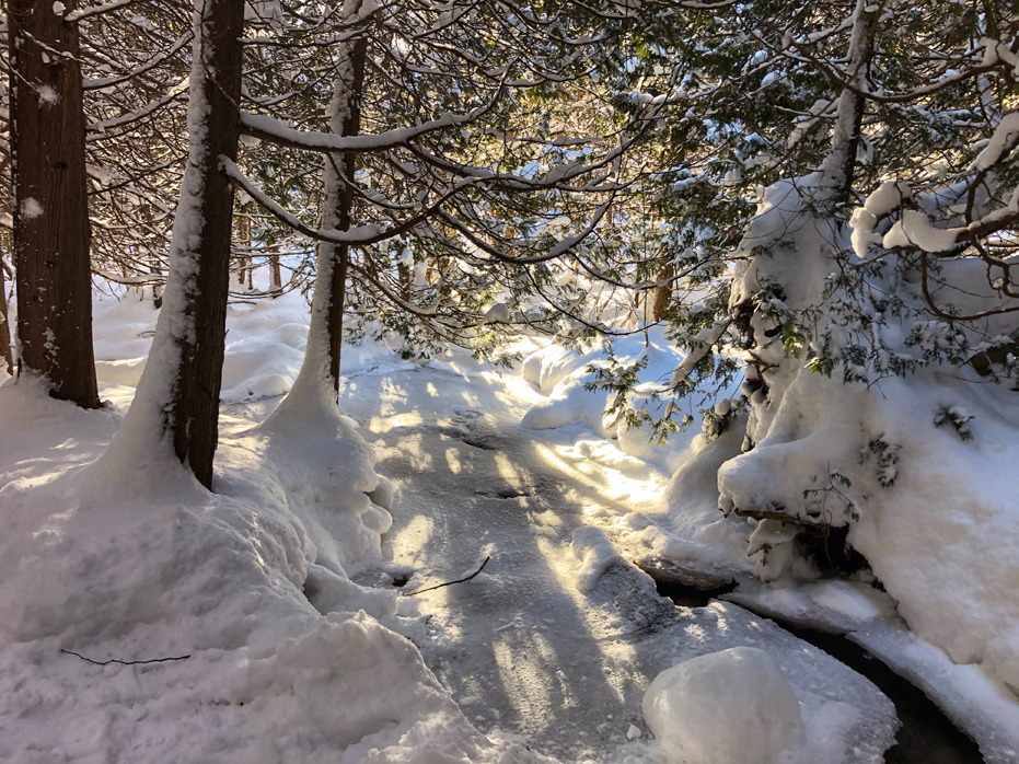
The last section was quite lovely hiking alongside the Pretty River, which flows from this park to right behind our house. I liked that part of the hike best in both Fall and Winter.
This trail seems to be an unbelievably quiet trail and each time we hike here, I feel a real sense of peace being within this park.
As we hike this trail annually, I will regularly update the photo gallery to present a better overall idea of the hike.
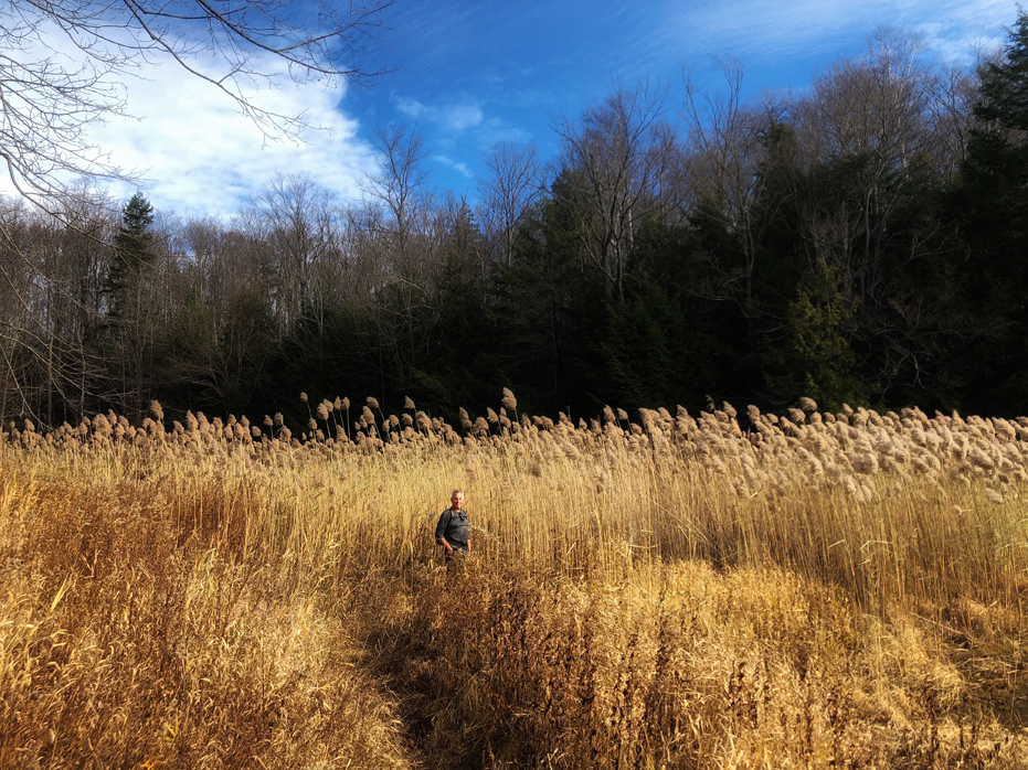
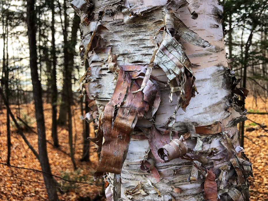
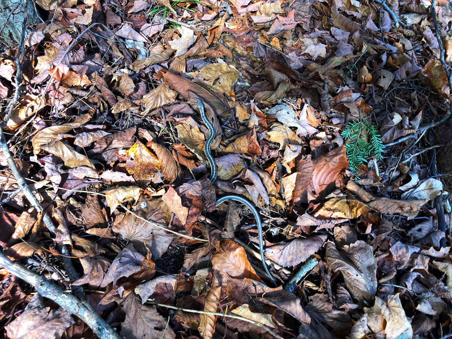
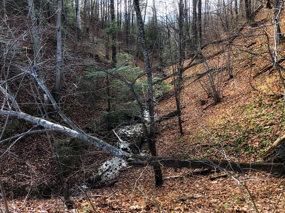
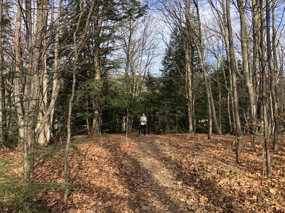
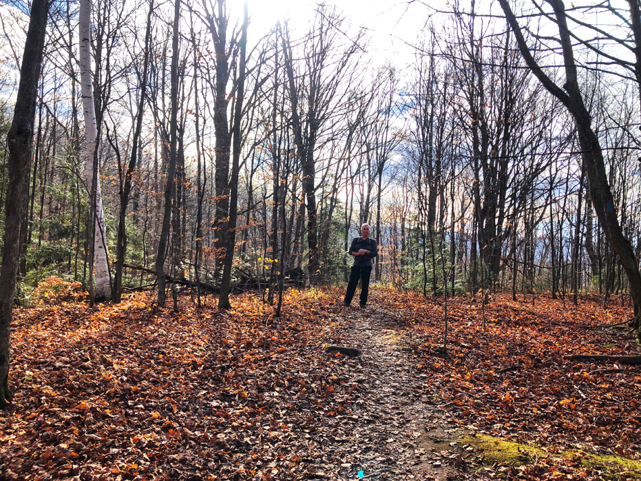
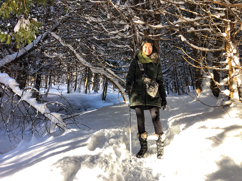
Enjoy the Photo Gallery below


No Comments